
Accessibility to Barbanza's tourist resources
The work proposes a working methodology to evaluate the signage of some of the tourist resources of the Barbanza Arousa Association and the elaboration of a proposal for the adaptation and improvement of accessibility to the resources.
Target
The aim of this activity is to develop a working methodology to evaluate the signage of the 80 main tourist resources of the four municipalities that make up the Barbanza Arousa Association and to draw up a proposal for action to bring the signage into line with the regulations; to make the resources more visible and accessible; and to coordinate all the resources of the region with each other.
Year
2020
Promoter
Mancomunidade de Municipios Barbanza Arousa
Location
Rianxo, Boiro, A Pobra do Caramiñal and Ribeira
Team and collaborators
Fundación RIA

Selection of tourism resources in the area of work.
The improvement of the signage and accessibility of the tourist resources of the Barbanza region is promoted by the Association of Municipalities Barbanza Arousa, which groups Ribeira, A Pobra do Caramiñal, Boiro and Rianxo.
The initiative is part of a strategy of territorial scope that seeks to improve accessibility to the most important tourist attractions in the region.


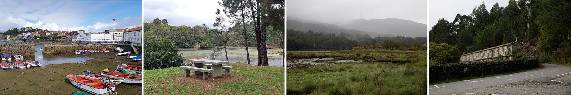
State of the current signage.
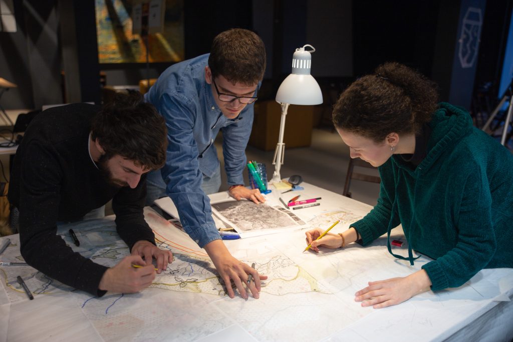
Methodology
A mixed methodology is designed, quantitative to evaluate the state of the resources and their accessibility, and qualitative to evaluate the hierarchical relationship of the whole within each municipality and at a territorial scale.
Field work and direct observation are fundamental in this project in order to carry out an exhaustive analysis of the state of the resources, the accesses and, therefore, the signage related to them.
Through visits to each of the resources, the aim is to have a global understanding of the territory and the articulation between resources. The activities that make up the field work can be grouped into 5:
- Access to the tourist resource from all possible foot and vehicular routes.
- Identification and characterization of existing signage.
- Identification and characterization of the resource.
- Geolocation of the resource and existing signage.
- Photographic report of resources and signage.

Accessibility diagnosis.
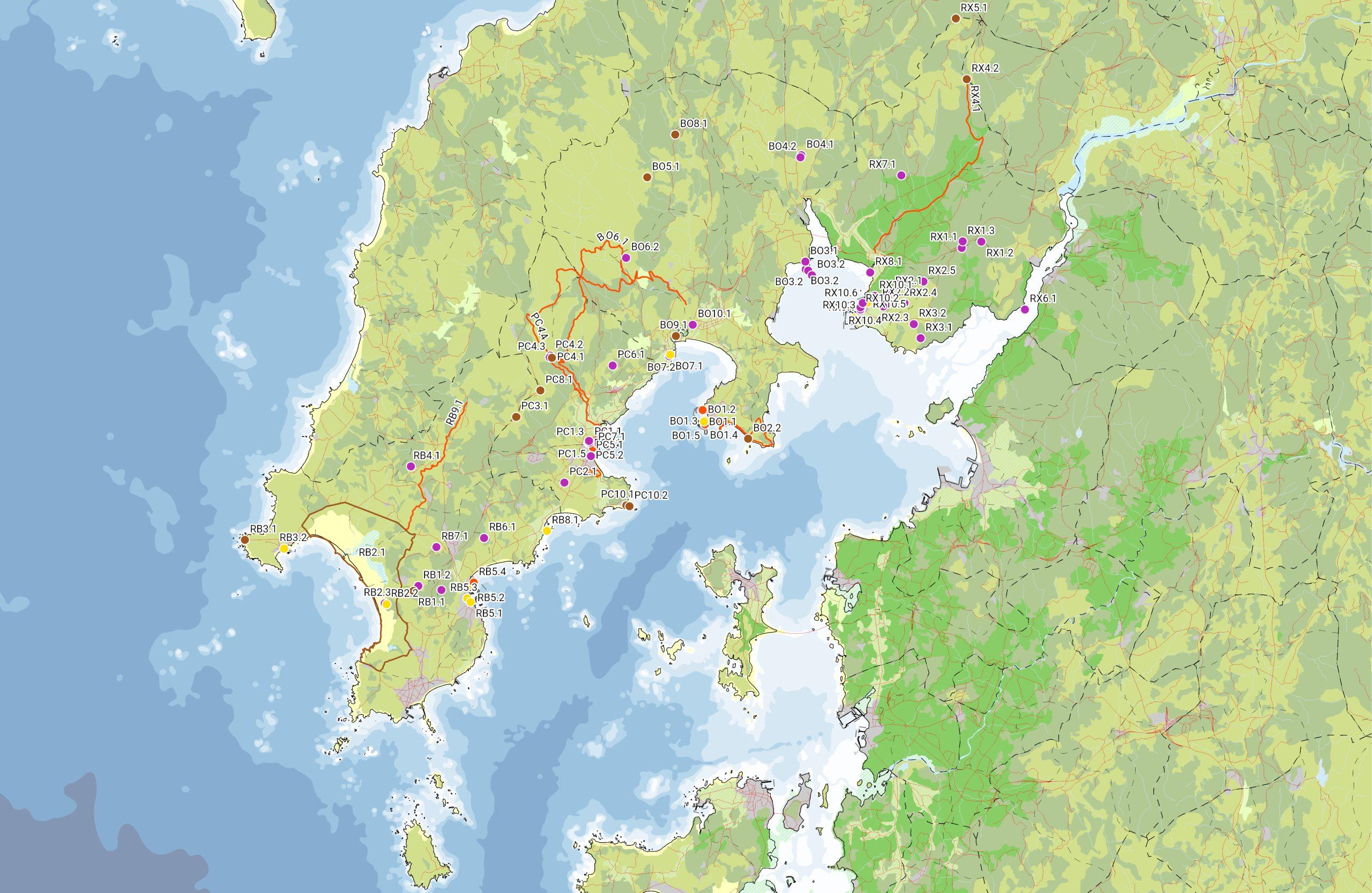
At the end of the identification process, a geolocalized cartography is prepared, in which the metadata obtained during the visits are entered for each marked point or polygon (signage or resource).

Mapping of geolocalized resources by municipality.
The territorial and local hierarchization of resources is approached in a participatory manner with the inhabitants of the region, through semi-directed interviews in which assessments of the local, historical, natural and economic importance of the different resources are extracted.
Following the diagnosis of the current state of the resources and their signage, a strategy is proposed to improve accessibility, both physical and digital, in accordance with current regulations.
New signage points are identified and the signs for each point are designed according to the type of mobility, whether vehicular or pedestrian, and the type of resource.
Finally, a geo-referenced digital cartography is prepared with the characterized resources for online use.

Proposal to adapt the signage to the regulations according to the type of resource and mobility.
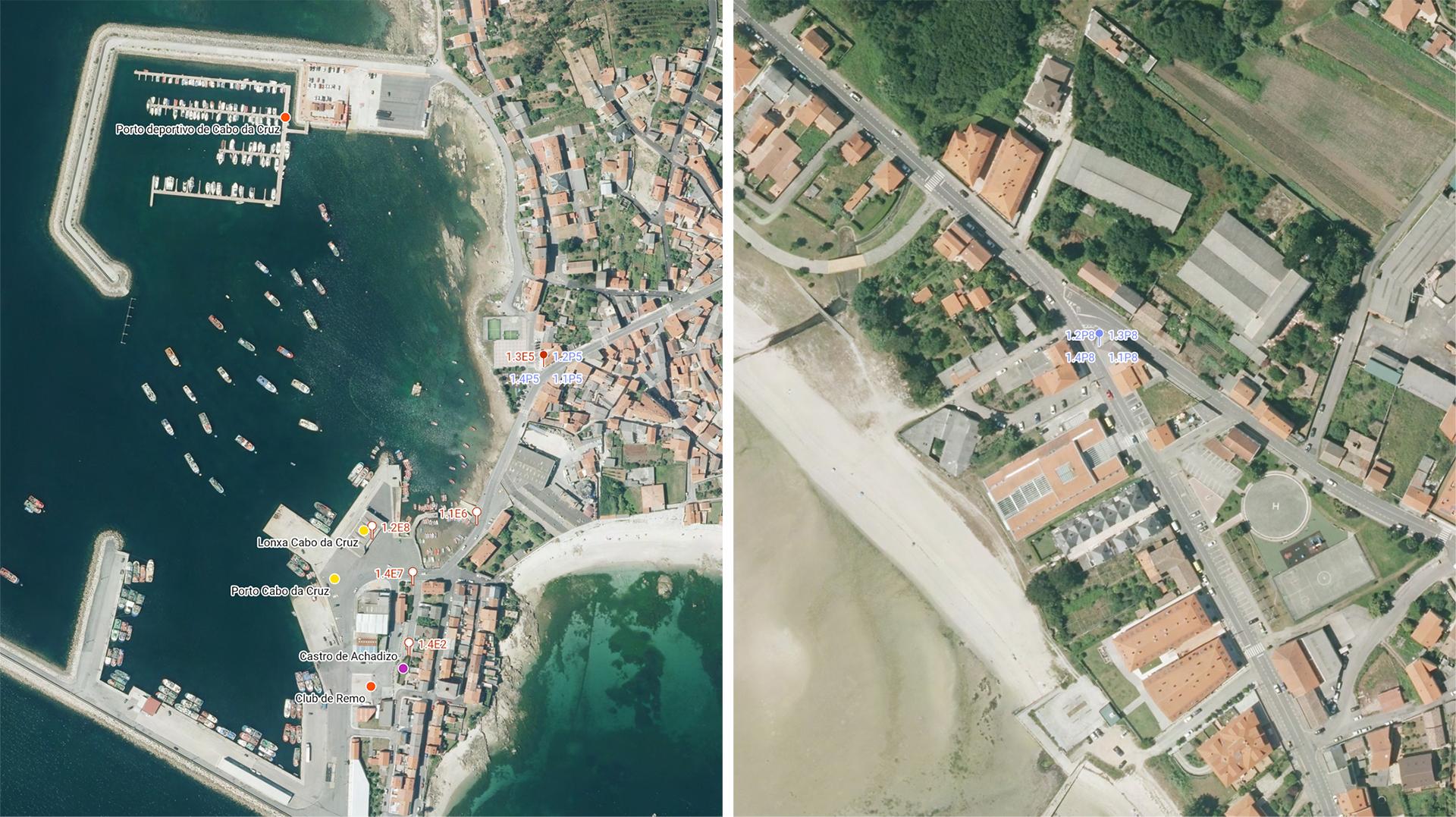
Map of signage location (in red the existing one and in blue the proposed one).